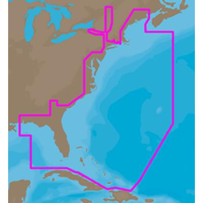
Max-N+ Wide, US E. Coast, Bahamas
C-Map Max-N+ Wide
- US E
- Coast
- Bahamas
- MFG# NA-Y022
- on SD/Micro-SD card
- features vector maps
- harbor/approach/marina details
- aerial photos
- tides & currents perspective view
- For use with Lowrance
- Simrad
- and B&G plotters
- US E
- Coast
- Bahamas
- MFG# NA-Y022
- on SD/Micro-SD card
- features vector maps
- harbor/approach/marina details
- aerial photos
- tides & currents perspective view
- For use with Lowrance
- Simrad
- and B&G plotters