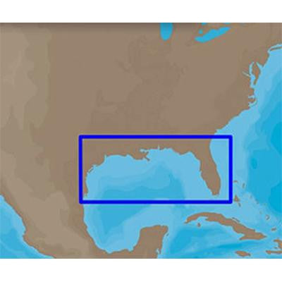
Max-N Bathymetric, Gulf of Mexico
MAX-N Bathymetric chart
- Gulf of Mexico
- SD-Card
- MFG# NA-N420
- shows dense contours for both coastal and off-shore locations
- for a detailed view of the underwater landscape
- Does not give port or Nuvigation detail
- For Lowrance
- Simrad and B&G units
- Gulf of Mexico
- SD-Card
- MFG# NA-N420
- shows dense contours for both coastal and off-shore locations
- for a detailed view of the underwater landscape
- Does not give port or Nuvigation detail
- For Lowrance
- Simrad and B&G units