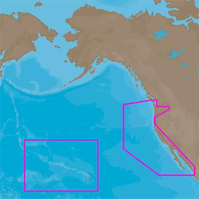
4D Full, US West Coast & Hawaii, SD-MSD
C-Map 4D Full Option
- MFG# NA-D024
- US West Coast & Hawaii on SD/MSD Card
- Includes vector charts
- port info
- tides & currents
- aerial photos
- roads
- elevations
- perspective view
- With satellite imagery
- 3D viewing
- and raster charts
- MFG# NA-D024
- US West Coast & Hawaii on SD/MSD Card
- Includes vector charts
- port info
- tides & currents
- aerial photos
- roads
- elevations
- perspective view
- With satellite imagery
- 3D viewing
- and raster charts